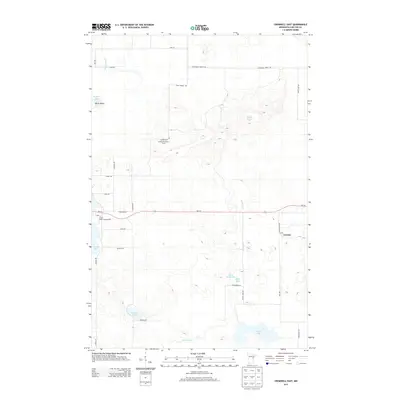
2013 Map of Cromwell East
USGS Topo · Published 2013About this map
The Kettle River meanders through this portion of Carlton County, defining a landscape of glacial lakes and wetlands characteristic of northern Minnesota. Near the eastern edge of the map, the small settlement of Corona sits along the MN-210 corridor, adjacent to the specialized Peat Plant Rd, reflecting the area's history with peat harvesting and regional transportation. To the west, the Cromwell Lookout Tower stands atop a local rise, a remnant of early 20th-century fire detection infrastructure within the state forest system.
Find a feature on this map
34 named features on this map. Tap any name to fly to it.
Don’t see what you’re looking for? This feature index may not catch every label — zoom into the map to look around manually.
Map Details
Editions of this 2013 Cromwell East Map
This is the sole edition of this map. No revisions or reprints were ever made.
Other maps of this area

1953 · Duluth
USGS Topo · 1:250,000

1954 · Sawyer
USGS Topo · 1:24,000

1954 · Martin Lake
USGS Topo · 1:24,000

1956 · Barnum
USGS Topo · 1:62,500

1958 · Duluth
USGS Topo · 1:250,000

1961 · Cromwell
USGS Topo · 1:62,500

1963 · Gowan
USGS Topo · 1:24,000

1963 · Prairie Lake
USGS Topo · 1:24,000

1980 · Duluth
USGS Topo · 1:100,000
1981 · Barnum
USGS Topo · 1:24,000