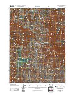
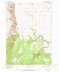
2011 Map of Crook Peak
USGS Topo · Published 2011About this map
Crook Peak and McDowell Peak anchor the skyline in this 2011 survey of Lake County, where the high desert meets the forest. The landscape is defined by a dense network of mountain drainages, including the headwaters of North Fork Crooked Creek and South Fork Crooked Creek, which flow through heavily timbered terrain. Notable sites of human utility are found at the Aspen Cabin and Drake Peak Lookout, reflecting the region's history of forest management and fire observation. Recreational access is marked at the Walker Trailhead and the South Fork Crooked Creek Horse Camp, while natural water sources like Emery Spring and Mud Creek Spring illustrate the critical importance of water in this arid highland. The presence of North Warner Viewpoint suggests a topography shaped for wide vistas across areas like Sherman Valley and Bull Prairie.
Find a feature on this map
34 named features on this map. Tap any name to fly to it.
Don’t see what you’re looking for? This feature index may not catch every label — zoom into the map to look around manually.
Map Details
Editions of this 2011 Crook Peak Map
This is the sole edition of this map. No revisions or reprints were ever made.
Other maps of this area

1955 · Klamath Falls
USGS Topo · 1:250,000

1958 · Klamath Falls
USGS Topo · 1:250,000

1964 · Lakeview NE
USGS Topo · 1:24,000

1964 · Crooked Creek Valley
USGS Topo · 1:24,000

1964 · Valley Falls
USGS Topo · 1:24,000
1968 · Sage Hen Butte
USGS Topo · 1:24,000

1968 · Crook Peak
USGS Topo · 1:24,000
1968 · Horse Prairie
USGS Topo · 1:24,000
1968 · Drake Peak NE
USGS Topo · 1:24,000
1968 · Little Honey Creek
USGS Topo · 1:24,000