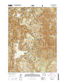
2014 Map of Crook Peak
USGS Topo · Published 2014About this map
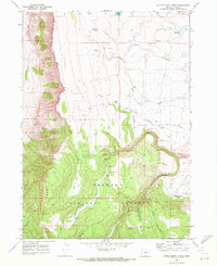
Crook Peak and its neighboring summits dominate this 2014 survey of high-elevation terrain within the Fremont National Forest. This section of Lake County is defined by a dense network of mountain springs and seasonal drainages, where sources like Military Spring, Emery Spring, and Stairstep Spring feed into the complex watershed of Honey Cr and the various forks of Crooked Cr. The landscape is marked by significant topographical relief, rising from the relatively level ground of Sherman Valley and Sage Flat toward the high ridges of Peddlers Ridge and the volcanic prominence of Squaw Butte in the southwest. Forest service access is documented via the Natl Forest Develop Road 3615 Rd, providing a look at the infrastructure supporting this timber and grazing region. From the N Warner Viewpoint, the map reveals a remote geography where water sources were essential for early survey and range management.
Find a feature on this map
38 named features on this map. Tap any name to fly to it.
Don’t see what you’re looking for? This feature index may not catch every label — zoom into the map to look around manually.
Map Details
Editions of this 2014 Crook Peak Map
This is the sole edition of this map. No revisions or reprints were ever made.
Other maps of this area

1955 · Klamath Falls
USGS Topo · 1:250,000

1958 · Klamath Falls
USGS Topo · 1:250,000

1964 · Lakeview NE
USGS Topo · 1:24,000

1964 · Crooked Creek Valley
USGS Topo · 1:24,000

1964 · Valley Falls
USGS Topo · 1:24,000
1968 · Sage Hen Butte
USGS Topo · 1:24,000

1968 · Crook Peak
USGS Topo · 1:24,000
1968 · Horse Prairie
USGS Topo · 1:24,000
1968 · Drake Peak NE
USGS Topo · 1:24,000
1968 · Little Honey Creek
USGS Topo · 1:24,000