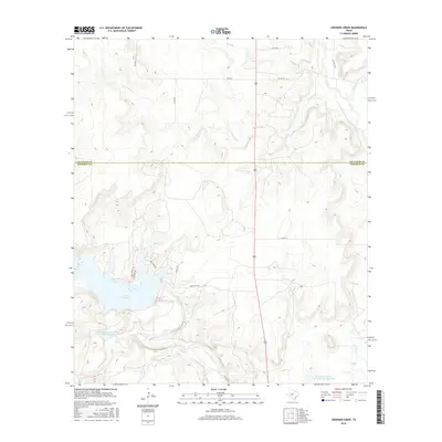
2016 Map of Crooked Creek
USGS Topo · Published 2016About this map
The drainage of Crooked Cr and its various tributaries defines the landscape along the border of Callahan Co and Coleman Co. This rural ranchland in central Texas is dominated by the northern reaches of Lake Coleman, where residential developments such as Scenic Dr, Quail Creek Dr, and Lakeview Dr suggest the transition of the area from purely agricultural use toward recreational lakeside living.
Find a feature on this map
21 named features on this map. Tap any name to fly to it.
Don’t see what you’re looking for? This feature index may not catch every label — zoom into the map to look around manually.
Map Details
Editions of this 2016 Crooked Creek Map
This is the sole edition of this map. No revisions or reprints were ever made.
Other maps of this area

1887 · Coleman
USGS Topo · 1:125,000

1889 · Coleman
USGS Topo · 1:125,000

1890 · Abilene
USGS Topo · 1:125,000

1892 · Abilene
USGS Topo · 1:125,000

1892 · Ballinger
USGS Topo · 1:125,000

1931 · Baird
USGS Topo · 1:125,000

1932 · Baird
USGS Topo · 1:125,000

1954 · Brownwood
USGS Topo · 1:250,000

1954 · Abilene
USGS Topo · 1:250,000

1958 · Abilene
USGS Topo · 1:250,000