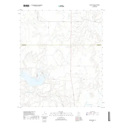
2019 Map of Crooked Creek
USGS Topo · Published 2019About this map
Lake Coleman dominates the southwestern corner of this landscape at the boundary of Callahan and Coleman Counties. This modern survey illustrates a topography defined by complex drainage networks, where the waters of Crooked Cr and its tributaries like Herd Br and Mesquite Br carve through the Texas terrain. The map documents the mid-20th-century water management infrastructure of the region, specifically naming the Soil Conservation Service Site 22 Reservoir and Soil Conservation Service Site 8 Reservoir. While much of the land remains divided by rural routes such as FM 2926 and Ranch Rd 1274, small residential clusters appear near the lakefront along Quail Creek Dr and Lakeview Dr, signaling the transition from traditional ranching lands to recreational development.
Find a feature on this map
21 named features on this map. Tap any name to fly to it.
Don’t see what you’re looking for? This feature index may not catch every label — zoom into the map to look around manually.
Map Details
Editions of this 2019 Crooked Creek Map
This is the sole edition of this map. No revisions or reprints were ever made.
Other maps of this area

1887 · Coleman
USGS Topo · 1:125,000

1889 · Coleman
USGS Topo · 1:125,000

1890 · Abilene
USGS Topo · 1:125,000

1892 · Abilene
USGS Topo · 1:125,000

1892 · Ballinger
USGS Topo · 1:125,000

1931 · Baird
USGS Topo · 1:125,000

1932 · Baird
USGS Topo · 1:125,000

1954 · Brownwood
USGS Topo · 1:250,000

1954 · Abilene
USGS Topo · 1:250,000

1958 · Abilene
USGS Topo · 1:250,000