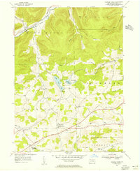
1954 Map of Crooked Creek
USGS Topo · Published 1956About this map
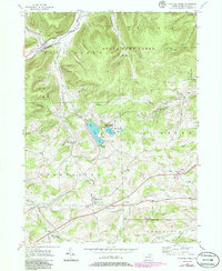
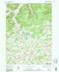
Hills Creek Lake sits at the center of this mid-century portrait of Tioga County, where the transition from agrarian roots to modern infrastructure is clearly visible. The southern half of the sheet is dominated by the path of the Roosevelt Highway, a major artery that connects several local clusters. Family names and small-scale settlement patterns are preserved in places like Dartt Settlement and Whitneyville, while institutional life is represented by the Charleston Consolidated Sch and numerous country churches including East Charleston Ch.
Find a feature on this map
34 named features on this map. Tap any name to fly to it.
Don’t see what you’re looking for? This feature index may not catch every label — zoom into the map to look around manually.
Map Details
Editions of this 1954 Crooked Creek Map
6 editions found
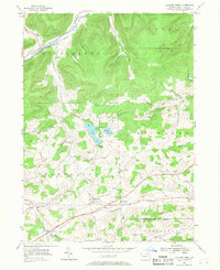
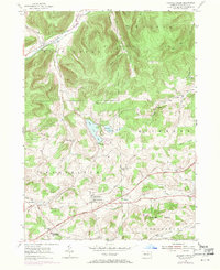
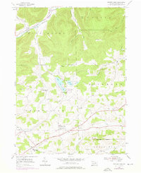
Other maps of this area

1900 · Tioga
USGS Topo · 1:62,500

1900 · Elkland
USGS Topo · 1:62,500

1902 · Tioga
USGS Topo · 1:62,500

1925 · Blossburg
USGS Topo · 1:62,500

1927 · Blossburg
USGS Topo · 1:62,500

1944 · Blossburg
USGS Topo · 1:62,500

1946 · Antrim
USGS Topo · 1:62,500

1946 · Antrim
USGS Topo · 1:24,000

1948 · Antrim
USGS Topo · 1:24,000

1954 · Williamsport
USGS Topo · 1:250,000
Featured Places
- Tioga Township, PA
- Middlebury Township, PA
- Whitneyville, Charleston Township
- Richmond Township, PA
- Crooked Creek, Middlebury Township