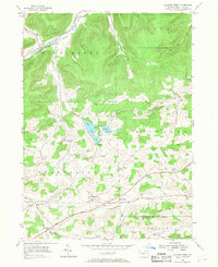
1954 Map of Crooked Creek
USGS Topo · Published 1968About this map
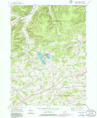
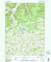
Hills Creek Lake and the surrounding state parklands dominate the center of this mid-century Tioga County landscape, where the wooded uplands of Bald Hill meet the agricultural valleys of Middlebury and Charleston. The settlement pattern follows the drainage of Crooked Creek and Hills Creek, characterized by small crossroads communities and family-named locales such as Dartt Settlement and Whitneyville. Transportation infrastructure is a primary feature, with the Central New York rail line running parallel to the creek in the northwest, and the Roosevelt Highway cutting across the southern townships.
Find a feature on this map
35 named features on this map. Tap any name to fly to it.
Don’t see what you’re looking for? This feature index may not catch every label — zoom into the map to look around manually.
Map Details
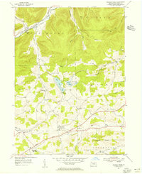
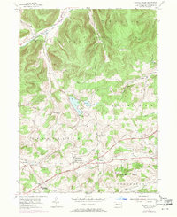
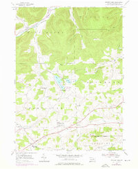
Editions of this 1954 Crooked Creek Map
6 editions found
Other maps of this area

1900 · Tioga
USGS Topo · 1:62,500

1900 · Elkland
USGS Topo · 1:62,500

1902 · Tioga
USGS Topo · 1:62,500

1925 · Blossburg
USGS Topo · 1:62,500

1927 · Blossburg
USGS Topo · 1:62,500

1944 · Blossburg
USGS Topo · 1:62,500

1946 · Antrim
USGS Topo · 1:62,500

1946 · Antrim
USGS Topo · 1:24,000

1948 · Antrim
USGS Topo · 1:24,000

1954 · Williamsport
USGS Topo · 1:250,000
Featured Places
- Tioga Township, PA
- Middlebury Township, PA
- Whitneyville, Charleston Township
- Richmond Township, PA
- Crooked Creek, Middlebury Township