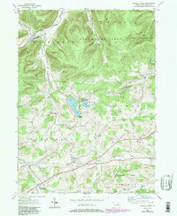
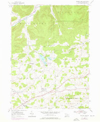
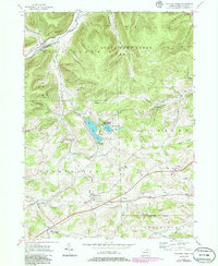
1954 Map of Crooked Creek
USGS Topo · Published 1986About this map
Hills Creek State Park and the expansive State Game Lands No 37 dominate this portion of Tioga County, showcasing a landscape defined by high ridges and narrow creek valleys. The water system, anchored by Hills Creek Lake and Tauscher Pond, flows through a region largely dedicated to conservation and public recreation. This 1954 data, updated with 1980s aerial revisions, captures the rural character of the settlements along the southern corridor, including the communities of Whitneyville and East Charleston.
Find a feature on this map
39 named features on this map. Tap any name to fly to it.
Don’t see what you’re looking for? This feature index may not catch every label — zoom into the map to look around manually.
Map Details
Editions of this 1954 Crooked Creek Map
6 editions found
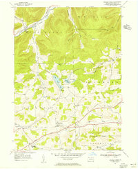
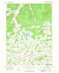
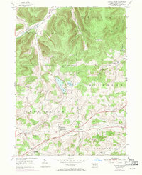
Other maps of this area

1900 · Tioga
USGS Topo · 1:62,500

1900 · Elkland
USGS Topo · 1:62,500

1902 · Tioga
USGS Topo · 1:62,500

1925 · Blossburg
USGS Topo · 1:62,500

1927 · Blossburg
USGS Topo · 1:62,500

1944 · Blossburg
USGS Topo · 1:62,500

1946 · Antrim
USGS Topo · 1:62,500

1946 · Antrim
USGS Topo · 1:24,000

1948 · Antrim
USGS Topo · 1:24,000

1954 · Williamsport
USGS Topo · 1:250,000
Featured Places
- Tioga Township, PA
- Middlebury Township, PA
- Whitneyville, Charleston Township
- Richmond Township, PA
- Crooked Creek, Middlebury Township