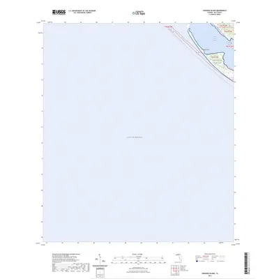
2024 Map of Crooked Island
USGS Topo · Published 2024About this map
Tyndall Air Force Base occupies the coastal stretch of Bay County shown here, where the land meets the expansive Gulf of Mexico. The landscape is defined by the thin, protective barrier of Crooked Island, which shelters the waters of Saint Andrew Sound. This 2024 survey captures a shifting coastal environment where small, interior water bodies like Wild Goose Lagoon sit just behind the primary shoreline. The presence of the Florida Circumnavigational Paddling Trl indicates the area's modern role as a recreational corridor along the panhandle. The map illustrates the specialized geography of a military reservation situated directly against a dynamic barrier island system, emphasizing the isolation of these coastal landforms from the more developed inland regions of Florida.
Find a feature on this map
8 named features on this map. Tap any name to fly to it.
Don’t see what you’re looking for? This feature index may not catch every label — zoom into the map to look around manually.
Map Details
Editions of this 2024 Crooked Island Map
This is the sole edition of this map. No revisions or reprints were ever made.
Other maps of this area

1943 · Beacon Beach
USGS Topo · 1:31,680

1943 · Crooked Island
USGS Topo · 1:31,680

1944 · Beacon Hill
USGS Topo · 1:31,680

1944 · Long Point
USGS Topo · 1:31,680

1945 · Allanton
USGS Topo · 1:31,680

1945 · St Joseph Point
USGS Topo · 1:31,680

1947 · Allanton
USGS Topo · 1:25,000

1949 · Apalachicola
USGS Topo · 1:250,000

1954 · Tallahassee
USGS Topo · 1:250,000
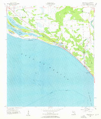
1956 · Beacon Hill
USGS Topo · 1:24,000