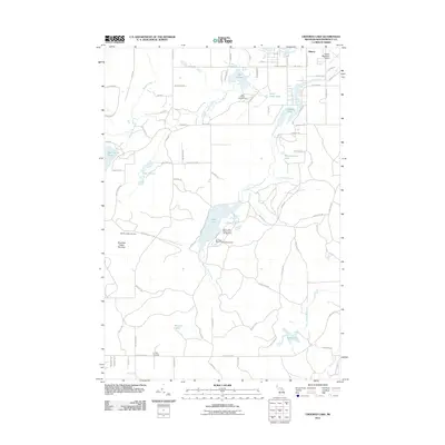
2011 Map of Crooked Lake
USGS Topo · Published 2011About this map
The Thunder Bay River and its network of glacial lakes dominate this Montmorency County landscape, captured during a period of recreational development and quiet rural residence. Centered on Avery Lake, the map details a region defined by its water and woods, where seasonal tourism at the Sheridan Valley Ski Area and public access points like Big Oaks State Forest Campground complement the agricultural and transport corridors of County Rd 612.
Find a feature on this map
83 named features on this map. Tap any name to fly to it.
Don’t see what you’re looking for? This feature index may not catch every label — zoom into the map to look around manually.
Map Details
Editions of this 2011 Crooked Lake Map
This is the sole edition of this map. No revisions or reprints were ever made.
Other maps of this area

1949 · Lewiston
USGS Topo · 1:62,500

1950 · Lewiston
USGS Topo · 1:24,000

1950 · Comstock Hills
USGS Topo · 1:24,000

1951 · Comstock Hills
USGS Topo · 1:24,000

1951 · Lewiston
USGS Topo · 1:24,000

1954 · Hetherton
USGS Topo · 1:62,500

1954 · Traverse City
USGS Topo · 1:250,000

1955 · Atlanta
USGS Topo · 1:62,500

1955 · Comins
USGS Topo · 1:62,500

1955 · Cheboygan
USGS Topo · 1:250,000