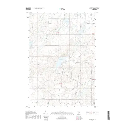
2019 Map of Crooked Lake
USGS Topo · Published 2019About this map
Avery Lake and the surrounding Avery Hills define this landscape in Montmorency County, a region characterized by its dense network of kettle lakes and tributaries. The upper reaches of the Thunder Bay River flow through the northwest corner, while the eastern section is dominated by Crooked Lake and Sage Lakes. A legacy of settlement and conservation is visible in the preservation of the Finnish Cem near Co Rd 612, signaling the ancestral footprints of the area's rural community.
Find a feature on this map
83 named features on this map. Tap any name to fly to it.
Don’t see what you’re looking for? This feature index may not catch every label — zoom into the map to look around manually.
Map Details
Editions of this 2019 Crooked Lake Map
This is the sole edition of this map. No revisions or reprints were ever made.
Other maps of this area

1949 · Lewiston
USGS Topo · 1:62,500

1950 · Lewiston
USGS Topo · 1:24,000

1950 · Comstock Hills
USGS Topo · 1:24,000

1951 · Comstock Hills
USGS Topo · 1:24,000

1951 · Lewiston
USGS Topo · 1:24,000

1954 · Hetherton
USGS Topo · 1:62,500

1954 · Traverse City
USGS Topo · 1:250,000

1955 · Atlanta
USGS Topo · 1:62,500

1955 · Comins
USGS Topo · 1:62,500

1955 · Cheboygan
USGS Topo · 1:250,000