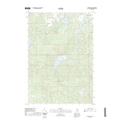
2023 Map of Crooked Lake
USGS Topo · Published 2023About this map
Glacial water bodies and winding recreation trails define the terrain of Montmorency County in this recent survey. The landscape is dominated by large lakes including Avery Lake, Crooked Lake, and Lake Fifteen, while the Thunder Bay River flows through the northwest corner. A notable site for local researchers is the Finnish Cem located near Co Rd 612, serving as a tangible link to the area's ancestral settlements. The presence of the Atlanta Municipal Airport in the northeast and a complex network of forest routes, such as the Hunt Creek Motorcycle Trl and Avery Hills Rd, highlights the region's modern role as a hub for both aviation and outdoor motorized recreation. These features, alongside family-named landmarks like Von Dette Rd and Ferguson Rd, trace the intersection of historical family landholdings with contemporary land use.
Find a feature on this map
86 named features on this map. Tap any name to fly to it.
Don’t see what you’re looking for? This feature index may not catch every label — zoom into the map to look around manually.
Map Details
Editions of this 2023 Crooked Lake Map
This is the sole edition of this map. No revisions or reprints were ever made.
Other maps of this area

1949 · Lewiston
USGS Topo · 1:62,500

1950 · Lewiston
USGS Topo · 1:24,000

1950 · Comstock Hills
USGS Topo · 1:24,000

1951 · Comstock Hills
USGS Topo · 1:24,000

1951 · Lewiston
USGS Topo · 1:24,000

1954 · Hetherton
USGS Topo · 1:62,500

1954 · Traverse City
USGS Topo · 1:250,000

1955 · Atlanta
USGS Topo · 1:62,500

1955 · Comins
USGS Topo · 1:62,500

1955 · Cheboygan
USGS Topo · 1:250,000