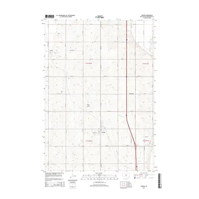
2015 Map of Crooks
USGS Topo · Published 2015About this map
Coteau des Prairies provides the defining relief for this region of Minnehaha County, where the plateau surface meets the drainage basins of the Big Sioux River. The town of Crooks serves as a local hub near the intersection of several section-line roads, while the smaller settlements of Lyons and Morefield mark the surrounding agricultural landscape. Waterways like Springwater Cr and Willow Cr carve subtle valleys through the prairie, illustrating the natural irrigation patterns of the eastern Dakotas. Genealogists may find particular interest in the Lyons Cem, a quiet landmark located north of the Lyons townsite. The survey details the established grid of 2015, showing a network of numbered avenues and streets that connect these historic communities across the township boundaries of T103N and T102N.
Find a feature on this map
41 named features on this map. Tap any name to fly to it.
Don’t see what you’re looking for? This feature index may not catch every label — zoom into the map to look around manually.
Map Details
Editions of this 2015 Crooks Map
This is the sole edition of this map. No revisions or reprints were ever made.
Other maps of this area

1955 · Sioux Falls
USGS Topo · 1:250,000

1958 · Sioux Falls
USGS Topo · 1:250,000

1962 · Colton SE
USGS Topo · 1:24,000

1962 · Dell Rapids
USGS Topo · 1:24,000

1962 · Renner
USGS Topo · 1:24,000

1962 · Sioux Falls East
USGS Topo · 1:24,000

1962 · Hartford South
USGS Topo · 1:24,000

1962 · Hartford North
USGS Topo · 1:24,000

1962 · Sioux Falls West
USGS Topo · 1:24,000

1962 · Crooks
USGS Topo · 1:24,000