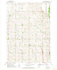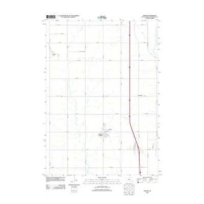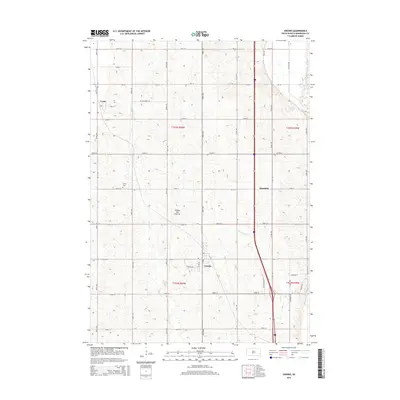
2021 Map of Crooks
USGS Topo · Published 2021About this map
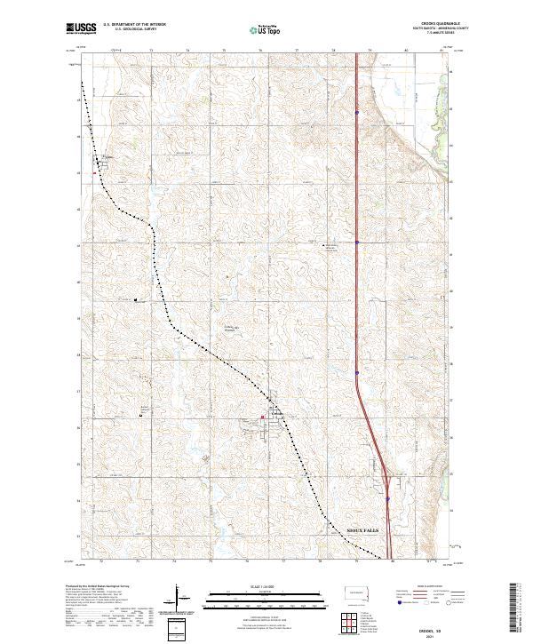
Crooks and Lyons serve as the primary residential hubs in this portion of Minnehaha County, situated atop the distinctive Coteau des Prairies upland. The landscape is defined by a rigorous section-line road grid, including Co Hwy 141 and Co Hwy 130, which connects rural farmsteads to the northern fringes of Sioux Falls. The preservation of local history is evident in the cluster of heritage sites such as the West Nidaros Lutheran Church Cem and the Benton Lutheran Cem, which anchor the surrounding agricultural townships.
Find a feature on this map
48 named features on this map. Tap any name to fly to it.
Don’t see what you’re looking for? This feature index may not catch every label — zoom into the map to look around manually.
Map Details
Editions of this 2021 Crooks Map
This is the sole edition of this map. No revisions or reprints were ever made.
Historical Maps of Sioux Falls Through Time
5 maps found