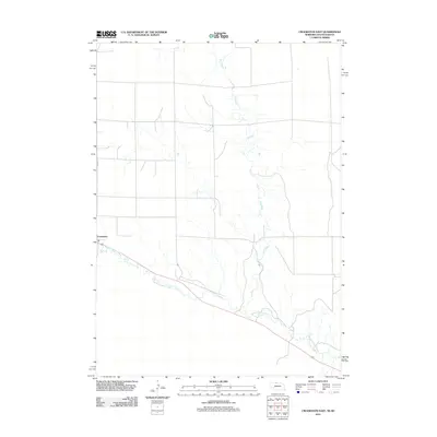
2011 Map of Crookston East
USGS Topo · Published 2011About this map
Crookston serves as the primary settlement on this Nebraska landscape, situated near the western edge of the quadrangle. The town's layout is defined by local thoroughfares such as Maple St and its proximity to the winding course of Minnechaduza Creek. This waterway flows across the southern portion of the map, carving a distinct path through the terrain as it heads eastward. The central and northern areas are characterized by a network of drainage patterns, most notably the seasonal or intermittent reaches of Dry Creek, which branches extensively across the high plains. The map illustrates a rural environment where land use is dictated by the availability of water, showing a sparse distribution of structures outside the immediate vicinity of the town center.
Find a feature on this map
5 named features on this map. Tap any name to fly to it.
Don’t see what you’re looking for? This feature index may not catch every label — zoom into the map to look around manually.
Map Details
Editions of this 2011 Crookston East Map
This is the sole edition of this map. No revisions or reprints were ever made.
Other maps of this area

1950 · Kilgore
USGS Topo · 1:62,500

1950 · Valentine
USGS Topo · 1:62,500

1955 · Martin
USGS Topo · 1:250,000

1957 · Valentine
USGS Topo · 1:250,000

1958 · Martin
USGS Topo · 1:250,000

1959 · Valentine
USGS Topo · 1:250,000

1969 · Olsonville SW
USGS Topo · 1:24,000

1969 · St. Francis SE
USGS Topo · 1:24,000

1982 · Olsonville SE
USGS Topo · 1:24,000

1982 · Mission
USGS Topo · 1:100,000