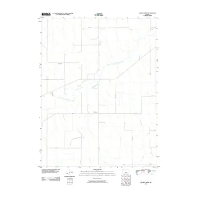
2009 Map of Crosby Creek
USGS Topo · Published 2009About this map
The South Fork Republican River cuts a wide, meandering path across this Cheyenne County landscape, joined by the smaller drainages of Battle Creek and Crosby Creek. This area of Northwest Kansas is defined by a rigid grid of section roads, such as Co Rd 4 and Co Rd M, which organize the agricultural terrain and provide access to isolated landmarks. Genealogists will find interest in the Zion Lutheran Cemetery in the northwestern quadrant and the Battle Creek Cemetery further south. These sites, along with the sparse infrastructure of the county road system, reflect a long-standing pattern of rural settlement and land use that persists into the early 21st century.
Find a feature on this map
17 named features on this map. Tap any name to fly to it.
Don’t see what you’re looking for? This feature index may not catch every label — zoom into the map to look around manually.
Map Details
Editions of this 2009 Crosby Creek Map
This is the sole edition of this map. No revisions or reprints were ever made.
Other maps of this area

1942 · St. Francis
USGS Topo · 1:62,500

1943 · St. Francis
USGS Topo · 1:62,500

1950 · Bonny Reservoir
USGS Topo · 1:62,500

1951 · St Francis
USGS Topo · 1:62,500

1952 · St Francis 3
USGS Topo · 1:62,500

1954 · Limon
USGS Topo · 1:250,000

1954 · Goodland
USGS Topo · 1:250,000

1956 · Goodland
USGS Topo · 1:250,000

1957 · Limon
USGS Topo · 1:250,000

1957 · Goodland
USGS Topo · 1:250,000