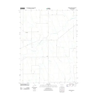
2012 Map of Crosby Creek
USGS Topo · Published 2012About this map
The S Fork Republican River carves a winding path through the high plains of Cheyenne County, Kansas, defining the physical and historical orientation of this agricultural landscape. The local geography is anchored by rural heritage sites such as the Zion Evangelical Lutheran Cem and Battle Creek Cem, which serve as permanent markers of the early families who settled this northwestern corner of the state. The terrain is further etched by a series of north-south and east-west corridors, including River Rd and Co Road I, which follow the section lines common to the American Great Plains. Drainage from the surrounding tablelands feeds into the primary river via tributaries like Battle Cr and Crosby Cr, creating a subtle network of draws that influenced the placement of homesteads and grazing lands throughout the century.
Find a feature on this map
23 named features on this map. Tap any name to fly to it.
Don’t see what you’re looking for? This feature index may not catch every label — zoom into the map to look around manually.
Map Details
Editions of this 2012 Crosby Creek Map
This is the sole edition of this map. No revisions or reprints were ever made.
Other maps of this area

1942 · St. Francis
USGS Topo · 1:62,500

1943 · St. Francis
USGS Topo · 1:62,500

1950 · Bonny Reservoir
USGS Topo · 1:62,500

1951 · St Francis
USGS Topo · 1:62,500

1952 · St Francis 3
USGS Topo · 1:62,500

1954 · Limon
USGS Topo · 1:250,000

1954 · Goodland
USGS Topo · 1:250,000

1956 · Goodland
USGS Topo · 1:250,000

1957 · Limon
USGS Topo · 1:250,000

1957 · Goodland
USGS Topo · 1:250,000