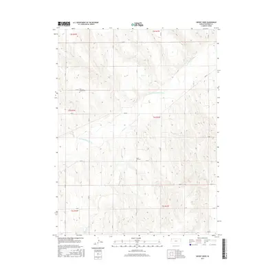
2015 Map of Crosby Creek
USGS Topo · Published 2015About this map
S Fork Republican River defines the drainage of this Cheyenne County landscape, joined by tributary waters of Battle Cr and Crosby Cr. The terrain is etched with the section-line grid of the Public Land Survey System, a hallmark of the High Plains agricultural layout. Local genealogy and settlement history are anchored by the Zion Evangelical Lutheran Cem in the northwest and the Battle Creek Cem situated further south near the creek that shares its name. While mostly composed of open ranch or farmland, the area is connected by a dense network of county roads, including Co RD 7 and the descriptive River Rd, which traces the valley of the Republican River. This 2015 survey provides a modern snapshot of a long-established rural community where the infrastructure of the T3S through T5S townships remains remarkably consistent with historical land use patterns.
Find a feature on this map
28 named features on this map. Tap any name to fly to it.
Don’t see what you’re looking for? This feature index may not catch every label — zoom into the map to look around manually.
Map Details
Editions of this 2015 Crosby Creek Map
This is the sole edition of this map. No revisions or reprints were ever made.
Other maps of this area

1942 · St. Francis
USGS Topo · 1:62,500

1943 · St. Francis
USGS Topo · 1:62,500

1950 · Bonny Reservoir
USGS Topo · 1:62,500

1951 · St Francis
USGS Topo · 1:62,500

1952 · St Francis 3
USGS Topo · 1:62,500

1954 · Limon
USGS Topo · 1:250,000

1954 · Goodland
USGS Topo · 1:250,000

1956 · Goodland
USGS Topo · 1:250,000

1957 · Limon
USGS Topo · 1:250,000

1957 · Goodland
USGS Topo · 1:250,000