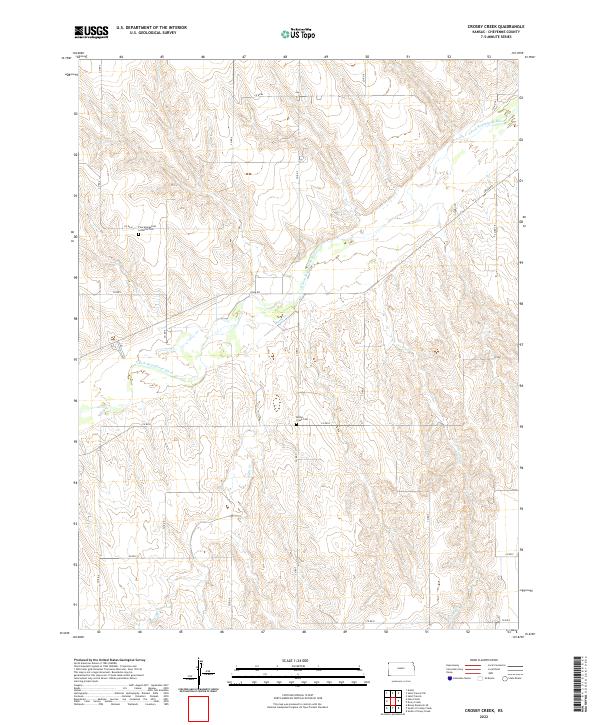
2022 Map of Crosby Creek
USGS Topo · Published 2022About this map
S Fork Republican River cuts across the northwest corner of this Cheyenne County landscape, where the high plains of western Kansas are deeply etched by seasonal drainage systems. The terrain is defined by the parallel courses of Battle Cr and Crosby Cr, which flow northward toward the river through a grid of section lines and county roads. This layout reflects the enduring homesteading patterns of the region, where isolated rural landmarks serve as the primary anchors for local history. For genealogists and researchers, the map identifies two significant local burial sites: the Zion Evangelical Lutheran Cem in the northern reaches and the Battle Creek Cem situated near the center of the quadrangle. These sites, along with the sparse network of secondary routes like River Rd and various numbered county roads, illustrate the quiet, agrarian character of this high-plains territory.
Find a feature on this map
27 named features on this map. Tap any name to fly to it.
Don’t see what you’re looking for? This feature index may not catch every label — zoom into the map to look around manually.
Map Details
Editions of this 2022 Crosby Creek Map
This is the sole edition of this map. No revisions or reprints were ever made.
Other maps of this area

1942 · St. Francis
USGS Topo · 1:62,500

1943 · St. Francis
USGS Topo · 1:62,500

1950 · Bonny Reservoir
USGS Topo · 1:62,500

1951 · St Francis
USGS Topo · 1:62,500

1952 · St Francis 3
USGS Topo · 1:62,500

1954 · Limon
USGS Topo · 1:250,000

1954 · Goodland
USGS Topo · 1:250,000

1956 · Goodland
USGS Topo · 1:250,000

1957 · Limon
USGS Topo · 1:250,000

1957 · Goodland
USGS Topo · 1:250,000