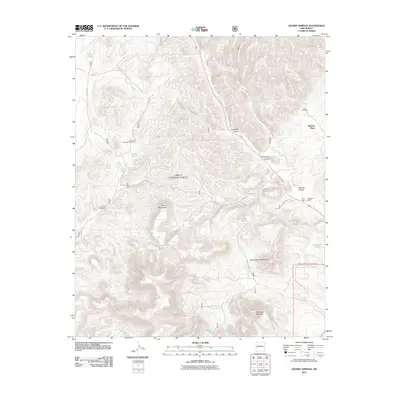
2011 Map of Crosby Springs
USGS Topo · Published 2011About this map
Cibola National Forest encompasses the high country of the Crosby Mountains in this modern topographic study of Catron County. The landscape is defined by its series of canyons, notably Slaughter Canyon and Thompson Canyon, which cut through the mountain terrain. This area represents a remote pocket of New Mexico where land use is largely dictated by water access and topography. Traces of human presence are sparse, marked by structures such as Webster Place and Baldwin Cabin, along with primitive access via Swingle Canyon Rd and various Forest Service routes.
Find a feature on this map
38 named features on this map. Tap any name to fly to it.
Don’t see what you’re looking for? This feature index may not catch every label — zoom into the map to look around manually.
Map Details
Editions of this 2011 Crosby Springs Map
This is the sole edition of this map. No revisions or reprints were ever made.
Other maps of this area

1954 · Saint Johns
USGS Topo · 1:250,000

1954 · Socorro
USGS Topo · 1:250,000

1957 · Saint Johns
USGS Topo · 1:250,000

1958 · Socorro
USGS Topo · 1:250,000

1958 · Saint Johns
USGS Topo · 1:250,000

1962 · Socorro
USGS Topo · 1:250,000

1962 · Saint Johns
USGS Topo · 1:250,000

1963 · Cal Ship Mesa
USGS Topo · 1:24,000

1963 · Anderson Peak
USGS Topo · 1:24,000

1963 · Datil
USGS Topo · 1:24,000