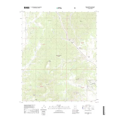
2020 Map of Crosby Springs
USGS Topo · Published 2020About this map
Cibola National Forest encompasses the vast majority of this high-altitude landscape, characterized by the intersection of the Datil Mountains and the Crosby Mountains. The terrain is deeply incised by drainages such as Slaughter Canyon, Swingle Canyon, and Sugarloaf Canyon, which guide the seasonal flow of water through this arid region. Human presence is concentrated near the settlement of Homestead in the southeast, where a network of local roads including Lookout Cir and Pioneer Dr provides access to residential parcels.
Find a feature on this map
51 named features on this map. Tap any name to fly to it.
Don’t see what you’re looking for? This feature index may not catch every label — zoom into the map to look around manually.
Map Details
Editions of this 2020 Crosby Springs Map
This is the sole edition of this map. No revisions or reprints were ever made.
Other maps of this area

1954 · Saint Johns
USGS Topo · 1:250,000
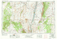
1954 · Socorro
USGS Topo · 1:250,000

1957 · Saint Johns
USGS Topo · 1:250,000
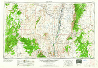
1958 · Socorro
USGS Topo · 1:250,000

1958 · Saint Johns
USGS Topo · 1:250,000
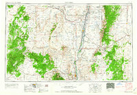
1962 · Socorro
USGS Topo · 1:250,000

1962 · Saint Johns
USGS Topo · 1:250,000
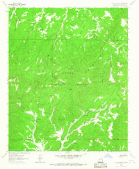
1963 · Cal Ship Mesa
USGS Topo · 1:24,000
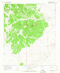
1963 · Anderson Peak
USGS Topo · 1:24,000
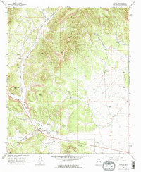
1963 · Datil
USGS Topo · 1:24,000