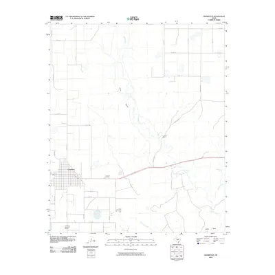
2010 Map of Crosbyton
USGS Topo · Published 2010About this map
Crosbyton serves as the focal point of this West Texas landscape, positioned where the High Plains transition into the dramatic relief of Blanco Canyon. The 2010 survey illustrates the town's organized grid and infrastructure, including the Crosbyton Municipal Airport and the centrally located Crosbyton Cemetery. To the east, the terrain drops significantly as the White River carves through the caprock, creating a complex network of drainages and springs. This area is punctuated by natural water features such as Silver Falls, Twenty Foot Falls, and Sand Rock Spring, which provide a sharp contrast to the surrounding agricultural plateau. Local activity is noted at Camp Rio Blanco, while the southern reaches of the map are defined by the convergence of Gannon Creek and Sand Rock Creek into the river valley, alongside the namesake Alfalfa Draw leading toward the canyon floor.
Find a feature on this map
31 named features on this map. Tap any name to fly to it.
Don’t see what you’re looking for? This feature index may not catch every label — zoom into the map to look around manually.
Map Details
Editions of this 2010 Crosbyton Map
This is the sole edition of this map. No revisions or reprints were ever made.
Other maps of this area

1954 · Lubbock
USGS Topo · 1:250,000

1961 · Bunker Hill
USGS Topo · 1:24,000

1965 · Floydada SE
USGS Topo · 1:24,000

1965 · Wake
USGS Topo · 1:24,000

1966 · Crosbyton
USGS Topo · 1:24,000

1966 · Mount Blanco
USGS Topo · 1:24,000

1966 · McAdoo
USGS Topo · 1:24,000

1966 · Collett Springs
USGS Topo · 1:24,000

1967 · Ralls SE
USGS Topo · 1:24,000

1967 · Ralls NE
USGS Topo · 1:24,000