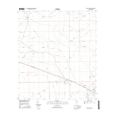
2015 Map of Cross City West
USGS Topo · Published 2015About this map
Cross City and the neighboring community of Shamrock anchor the southeastern corner of this Florida landscape, where the flat coastal plain is organized by a meticulous grid of township and range lines. The area's development is defined by long, straight thoroughfares such as NW 267th Loop and various county avenues that cut through the low-lying terrain. Further north, the small settlement of Hines sits along the roadway network, illustrating the sparse but deliberate distribution of communities in this part of Dixie County. This survey reflects the modern infrastructure of the region, showing how contemporary roads follow the historic land divisions of T9s R11e, t8s r12e, and surrounding sections.
Find a feature on this map
85 named features on this map. Tap any name to fly to it.
Don’t see what you’re looking for? This feature index may not catch every label — zoom into the map to look around manually.
Map Details
Editions of this 2015 Cross City West Map
This is the sole edition of this map. No revisions or reprints were ever made.
Other maps of this area

1954 · Cross City West
USGS Topo · 1:24,000

1954 · Eugene
USGS Topo · 1:24,000

1954 · Clara
USGS Topo · 1:24,000

1954 · Cross City East
USGS Topo · 1:24,000

1954 · Mallory Swamp SW
USGS Topo · 1:24,000

1954 · Jena
USGS Topo · 1:24,000

1954 · Steinhatchee SE
USGS Topo · 1:24,000

1954 · Mallory Swamp SE
USGS Topo · 1:24,000

1954 · Cross City SW
USGS Topo · 1:24,000

1954 · Gainesville
USGS Topo · 1:250,000