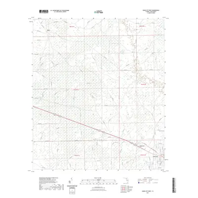
2021 Map of Cross City West
USGS Topo · Published 2021About this map
Cross City anchors the southeastern corner of this Dixie County landscape, where the local road network begins to give way to the extensive wetlands characteristic of the Gulf coastal region. The transition from the town’s street grid into the surrounding wilderness is marked by the presence of Pumpkin Swamp, a significant natural feature that dominates the central terrain. Historic transport patterns are evident in the northern reaches near the settlement of Hines, where the naming of Hines Tram Rd suggests a legacy of logging or industrial rail activity that once moved through these woods. To the east, the community of Shamrock sits along a primary corridor that includes the Nature Coast State Trl, showing how former industrial or rail paths have been repurposed for modern use. The remainder of the map is defined by a dense grid of section lines and secondary routes like W Swamp Rd and Anderson Rd, providing a detailed view of Florida’s timber and swamp lands.
Find a feature on this map
95 named features on this map. Tap any name to fly to it.
Don’t see what you’re looking for? This feature index may not catch every label — zoom into the map to look around manually.
Map Details
Editions of this 2021 Cross City West Map
This is the sole edition of this map. No revisions or reprints were ever made.
Other maps of this area

1954 · Cross City West
USGS Topo · 1:24,000

1954 · Eugene
USGS Topo · 1:24,000

1954 · Clara
USGS Topo · 1:24,000

1954 · Cross City East
USGS Topo · 1:24,000

1954 · Mallory Swamp SW
USGS Topo · 1:24,000

1954 · Jena
USGS Topo · 1:24,000

1954 · Steinhatchee SE
USGS Topo · 1:24,000

1954 · Mallory Swamp SE
USGS Topo · 1:24,000

1954 · Cross City SW
USGS Topo · 1:24,000

1954 · Gainesville
USGS Topo · 1:250,000