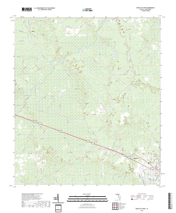
2024 Map of Cross City West
USGS Topo · Published 2024About this map
Pumpkin Swamp dominates the central landscape of this Dixie County region, illustrating the intricate hydrology of the Florida panhandle. The northwestern corner is anchored by the settlement of Hines, where the grid of logging and access roads like Hines Tram Rd and W Swamp Rd reflects the area's historical reliance on the timber industry. To the southeast, the edge of Cross City appears, providing a glimpse into the localized development near the intersection of major transit corridors. For genealogists and local historians, the presence of the Old Unidentified Cem near the eastern boundary offers a poignant touchstone of the area's early residency, situated away from the primary modern settlements. This survey provides a precise look at the transition from concentrated swamp drainage to the rural road networks that define the modern landscape.
Find a feature on this map
93 named features on this map. Tap any name to fly to it.
Don’t see what you’re looking for? This feature index may not catch every label — zoom into the map to look around manually.
Map Details
Editions of this 2024 Cross City West Map
This is the sole edition of this map. No revisions or reprints were ever made.
Other maps of this area

1954 · Cross City West
USGS Topo · 1:24,000

1954 · Eugene
USGS Topo · 1:24,000

1954 · Clara
USGS Topo · 1:24,000

1954 · Cross City East
USGS Topo · 1:24,000

1954 · Mallory Swamp SW
USGS Topo · 1:24,000

1954 · Jena
USGS Topo · 1:24,000

1954 · Steinhatchee SE
USGS Topo · 1:24,000

1954 · Mallory Swamp SE
USGS Topo · 1:24,000

1954 · Cross City SW
USGS Topo · 1:24,000

1954 · Gainesville
USGS Topo · 1:250,000