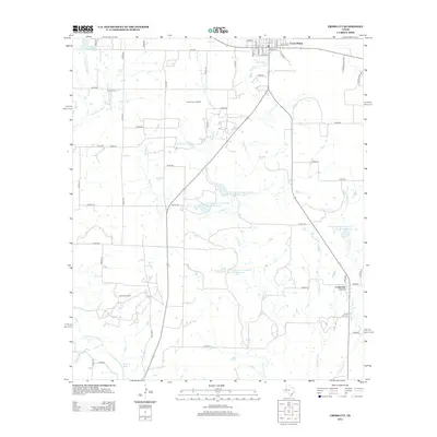
2012 Map of Cross Cut
USGS Topo · Published 2012About this map
Cross Plains serves as the northern anchor of this Central Texas landscape, where the street grid gives way to the extensive Cross Plains Oil Field. The area's economic history is written in its energy and agriculture, with the southern reaches defined by the Burkett Oil Field and the small settlement of Cross Cut. Numerous water management features, such as Soil Conservation Service Site 12 Reservoir and McDonough Lake, illustrate the region's reliance on managed water systems to support cattle and crops in the dry terrain. Genealogists will find the Dressy Cem and Cross Cut Cem located near established creek drainages like Turkey Cr and Little Pecan Bayou. The map captures a moment of modern rural continuity, showing a network of county roads connecting isolated homesteads and livestock operations across the drainage basins of Pecan Bayou and E Holloway Cr.
Find a feature on this map
64 named features on this map. Tap any name to fly to it.
Don’t see what you’re looking for? This feature index may not catch every label — zoom into the map to look around manually.
Map Details
Editions of this 2012 Cross Cut Map
This is the sole edition of this map. No revisions or reprints were ever made.
Other maps of this area

1887 · Coleman
USGS Topo · 1:125,000

1889 · Coleman
USGS Topo · 1:125,000

1924 · Coleman 1-a
USGS Topo · 1:48,000

1924 · Brownwood Reservoir Site
USGS Topo · 1:48,000

1927 · Grosvenor
USGS Topo · 1:62,500

1931 · Baird
USGS Topo · 1:125,000

1932 · Baird
USGS Topo · 1:125,000

1954 · Brownwood
USGS Topo · 1:250,000

1954 · Abilene
USGS Topo · 1:250,000

1958 · Abilene
USGS Topo · 1:250,000