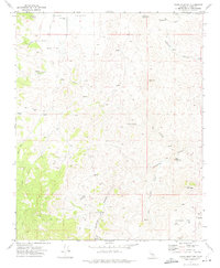
1972 Map of Cross Mountain
USGS Topo · Published 1975About this map
Kelso Valley and the high desert terrain of the Jawbone Canyon region define this early 1970s topographic study. The landscape is marked by a network of drainage features and peaks, notably Cross Mountain and White Mountain, alongside established mining interests in the southeast. Historical mining activity is evidenced by the Amalia Mine, Skyline Mine, and various unnamed mines and prospects scattered through the canyons.
Find a feature on this map
31 named features on this map. Tap any name to fly to it.
Don’t see what you’re looking for? This feature index may not catch every label — zoom into the map to look around manually.
Map Details
Editions of this 1972 Cross Mountain Map
2 editions found
Other maps of this area

1915 · Mojave
USGS Topo · 1:125,000

1943 · Tehachapi
USGS Topo · 1:62,500

1943 · Cross Mountain
USGS Topo · 1:62,500

1943 · Emerald Mtn
USGS Topo · 1:62,500

1943 · Mojave
USGS Topo · 1:62,500

1948 · Bakersfield
USGS Topo · 1:250,000

1955 · Bakersfield
USGS Topo · 1:250,000

1956 · Bakersfield
USGS Topo · 1:250,000
1956 · Mojave
USGS Topo · 1:62,500

1960 · Bakersfield
USGS Topo · 1:250,000