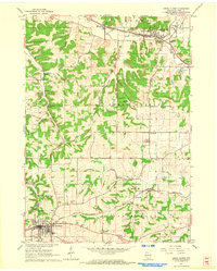
1962 Map of Cross Plains
USGS Topo · Published 1964About this map
The village of Mt Horeb anchors the southwest corner of this early 1960s survey, showing a landscape defined by the ridgelines of the Blue Mounds and the headwaters of the Sugar River. The settlement pattern follows the tracks of the Chicago And North Western railroad, which links the small communities of Klevenville and Mt Horeb, while the Chicago Milwaukee ST Paul And Pacific serves Cross Plains to the north.
Find a feature on this map
44 named features on this map. Tap any name to fly to it.
Don’t see what you’re looking for? This feature index may not catch every label — zoom into the map to look around manually.
Map Details
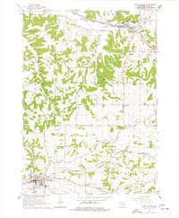
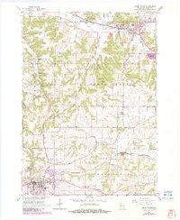
Editions of this 1962 Cross Plains Map
3 editions found
Other maps of this area
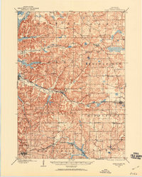
1907 · Cross Plains
USGS Topo · 1:62,500
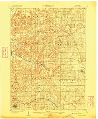
1909 · Cross Plains
USGS Topo · 1:62,500
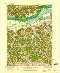
1920 · Blue Mounds
USGS Topo · 1:62,500
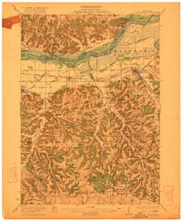
1922 · Blue Mounds
USGS Topo · 1:62,500
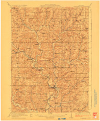
1923 · Blanchardville
USGS Topo · 1:62,500
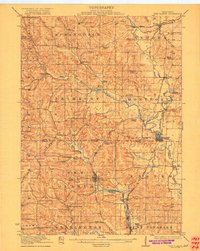
1923 · New Glarus
USGS Topo · 1:62,500

1954 · Rockford
USGS Topo · 1:250,000

1955 · Rockford
USGS Topo · 1:250,000

1957 · Madison
USGS Topo · 1:250,000
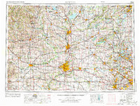
1958 · Rockford
USGS Topo · 1:250,000