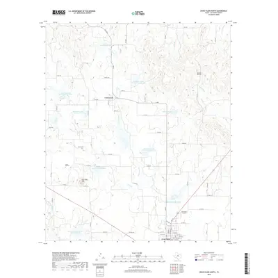
2019 Map of Cross Plains North
USGS Topo · Published 2019About this map
Cottonwood and the northern reaches of Cross Plains anchor this Callahan County landscape, illustrating a classic Texas pattern of rural settlement and managed water resources. The terrain is marked by distinctive topographic features like Mexican Hat Hill and East Caddo Peak, while the drainage system of Turkey Cr, Cottonwood Cr, and the Sabana River is heavily modified by the Soil Conservation Service. Over a dozen numbered reservoirs, such as Soil Conservation Service Site 4 Reservoir and Soil Conservation Service Site 21 Reservoir, demonstrate the mid-to-late 20th-century emphasis on flood control and livestock watering in this ranching region. Genealogists and local historians can locate established landmarks including Oglesby Cem and Caddo Peak Cem, alongside the infrastructure of the Ross Planes Airport and a dense network of county roads.
Find a feature on this map
71 named features on this map. Tap any name to fly to it.
Don’t see what you’re looking for? This feature index may not catch every label — zoom into the map to look around manually.
Map Details
Editions of this 2019 Cross Plains North Map
This is the sole edition of this map. No revisions or reprints were ever made.
Other maps of this area

1931 · Baird
USGS Topo · 1:125,000

1932 · Baird
USGS Topo · 1:125,000

1954 · Abilene
USGS Topo · 1:250,000

1958 · Abilene
USGS Topo · 1:250,000
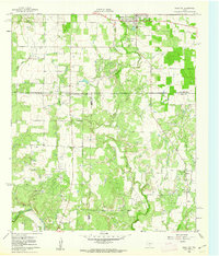
1960 · Cross Cut
USGS Topo · 1:24,000
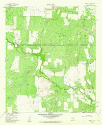
1960 · Webbville
USGS Topo · 1:24,000

1966 · Scranton
USGS Topo · 1:24,000

1966 · Putnam South
USGS Topo · 1:24,000

1966 · Admiral
USGS Topo · 1:24,000
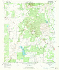
1968 · Rowden
USGS Topo · 1:24,000