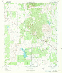
1968 Map of Rowden
USGS Topo · Published 1971About this map
Rowden serves as the central hub of this late 1960s landscape, positioned along the straight path of highway 36. The terrain is defined by a series of drainages, including Condemna Branch and Turkey Creek, which feed into larger systems like Deep Creek. This area of Callahan County reveals an economy deeply rooted in ranching and early petroleum extraction, evidenced by the numerous named water sources and energy sites.
Find a feature on this map
31 named features on this map. Tap any name to fly to it.
Don’t see what you’re looking for? This feature index may not catch every label — zoom into the map to look around manually.
Map Details
Editions of this 1968 Rowden Map
2 editions found
Other maps of this area

1931 · Baird
USGS Topo · 1:125,000

1932 · Baird
USGS Topo · 1:125,000

1954 · Abilene
USGS Topo · 1:250,000

1958 · Abilene
USGS Topo · 1:250,000
1960 · Cross Cut
USGS Topo · 1:24,000
1960 · Webbville
USGS Topo · 1:24,000
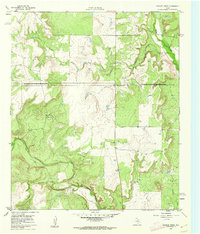
1960 · Crooked Creek
USGS Topo · 1:24,000

1966 · Putnam South
USGS Topo · 1:24,000

1966 · Admiral
USGS Topo · 1:24,000
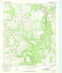
1966 · Cub Hollow
USGS Topo · 1:24,000