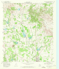
1968 Map of Cross Plains North
USGS Topo · Published 1971About this map
The settlement of Cottonwood and the northern edge of Cross Plains define the human landscape of this Callahan County region in the late 1960s. The terrain is marked by distinctive elevations like East Caddo Peak and Mexican Hat Hill, while the drainage system is anchored by Turkey Creek and the Sabana River. The map reveals a working countryside where livestock and resource extraction coexist, evidenced by the 400 Acre Windmill and an active Oil Field to the south.
Find a feature on this map
20 named features on this map. Tap any name to fly to it.
Don’t see what you’re looking for? This feature index may not catch every label — zoom into the map to look around manually.
Map Details
Editions of this 1968 Cross Plains North Map
This is the sole edition of this map. No revisions or reprints were ever made.
Other maps of this area

1931 · Baird
USGS Topo · 1:125,000

1932 · Baird
USGS Topo · 1:125,000

1954 · Abilene
USGS Topo · 1:250,000

1958 · Abilene
USGS Topo · 1:250,000
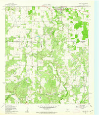
1960 · Cross Cut
USGS Topo · 1:24,000
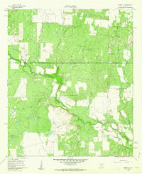
1960 · Webbville
USGS Topo · 1:24,000

1966 · Scranton
USGS Topo · 1:24,000

1966 · Putnam South
USGS Topo · 1:24,000

1966 · Admiral
USGS Topo · 1:24,000
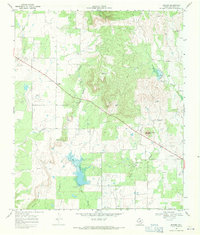
1968 · Rowden
USGS Topo · 1:24,000