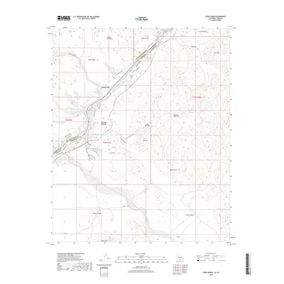
2018 Map of Cross Roads
USGS Topo · Published 2018About this map
The Colorado River defines the tri-state border region where California, Arizona, and Nevada meet near the settlement of Cross Roads. This desert landscape is characterized by prominent peaks and mountain ranges, including the Whipple Mountains to the northwest and the Buckskin Mountains to the east. Residential developments and recreational corridors like the Parker Dam RD and Cienega Springs sit along the riverbanks, contrasted by the arid expanses of the Mojave Desert that stretch toward Billy Mack Mtn and Lion Hill.
Find a feature on this map
45 named features on this map. Tap any name to fly to it.
Don’t see what you’re looking for? This feature index may not catch every label — zoom into the map to look around manually.
Map Details
Editions of this 2018 Cross Roads Map
This is the sole edition of this map. No revisions or reprints were ever made.
Other maps of this area

1911 · Parker
USGS Topo · 1:125,000

1943 · Giers Basin
USGS Topo · 1:62,500

1943 · Whipple Mts.
USGS Topo · 1:62,500

1943 · Parker
USGS Topo · 1:62,500

1949 · Parker
USGS Topo · 1:62,500

1950 · Parker Dam Area
USGS Topo · 1:62,500

1950 · Parker
USGS Topo · 1:62,500

1950 · Whipple Mts
USGS Topo · 1:62,500

1952 · Whipple Mts
USGS Topo · 1:62,500

1954 · Needles
USGS Topo · 1:250,000