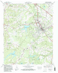
1982 Map of Crossville
USGS Topo · Published 1983About this map
Crossville serves as the central hub of this Cumberland County landscape, where the Southern Railway and Seaboard System tracks intersect amidst a growing network of residential developments and civic institutions. The map reveals a transition from traditional crossroads like Baker Crossroads and Dykes Crossroads to modern leisure and residential planning, exemplified by Lake Tansi Village and the recreation areas of Cumberland Mountain State Park. The terrain is defined by the Tennessee Divide, which influences the drainage of numerous water bodies including Lake Holiday and Meadow Park Lake. Genealogists will find a wealth of family history sites, from the Baisley Cem near Grace Ch in the north to Swan Cem in the south, reflecting the deep-rooted settlement patterns of the Cumberland Plateau during the early 1980s.
Find a feature on this map
84 named features on this map. Tap any name to fly to it.
Don’t see what you’re looking for? This feature index may not catch every label — zoom into the map to look around manually.
Map Details
Editions of this 1982 Crossville Map
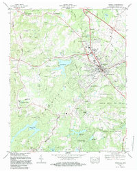
2 editions found
Other maps of this area

1887 · Kingston
USGS Topo · 1:125,000

1891 · Kingston
USGS Topo · 1:125,000

1892 · Pikeville
USGS Topo · 1:125,000

1893 · Kingston
USGS Topo · 1:125,000

1895 · Wartburg
USGS Topo · 1:125,000

1895 · Pikeville
USGS Topo · 1:125,000

1896 · Wartburg
USGS Topo · 1:125,000

1897 · Standingstone
USGS Topo · 1:125,000

1898 · Standingstone
USGS Topo · 1:125,000

1912 · Crossville
USGS Topo · 1:62,500