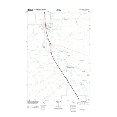
2011 Map of Crow Agency
USGS Topo · Published 2011About this map
Little Bighorn River meanders through this landscape, which preserves the hallowed ground of one of the most significant conflicts in Western history. The terrain is marked by significant topographical landmarks such as Last Stand Hill, Battle Ridge, and Greasy Grass Ridge, providing a clear visualization of the ridge-and-coulee geography that defined the 1876 engagement. The settlement of Crow Agency serves as a modern hub, containing the Crow Agency Cemetery and Crow Agency Fire Dept. To the south, Garryowen maintains its identity with the Garryowen Post Office near several historic river crossings. Notable features like Medicine Tail Ford, Retreat Crossing, and Reno Ford document the specific points of movement along the riverbanks, while Custer National Cemetery stands as a permanent memorial near the northern ridges.
Find a feature on this map
43 named features on this map. Tap any name to fly to it.
Don’t see what you’re looking for? This feature index may not catch every label — zoom into the map to look around manually.
Map Details
Editions of this 2011 Crow Agency Map
This is the sole edition of this map. No revisions or reprints were ever made.
Other maps of this area

1894 · Rosebud
USGS Topo · 1:125,000

1894 · St. Xavier
USGS Topo · 1:125,000

1894 · Fort Custer
USGS Topo · 1:125,000

1901 · Rosebud
USGS Topo · 1:125,000

1901 · St. Xavier
USGS Topo · 1:125,000

1954 · Hardin
USGS Topo · 1:250,000

1957 · Hardin
USGS Topo · 1:250,000

1958 · Hardin
USGS Topo · 1:250,000

1960 · St Xavier NE
USGS Topo · 1:24,000

1960 · Hardin
USGS Topo · 1:24,000