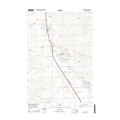
2014 Map of Crow Agency
USGS Topo · Published 2014About this map
Little Bighorn Battlefield National Monument dominates the central landscape of this Montana survey, preserving the terrain of the 1876 conflict. The map documents the specific geography of the engagement along the Little Bighorn River, featuring landmarks such as Last Stand Hill, Battle Ridge, and Greasy Grass Ridge. To the north, the settlement of Crow Agency serves as a modern hub, connected by the Agency Canal and proximity to the Custer National Cemetery.
Find a feature on this map
57 named features on this map. Tap any name to fly to it.
Don’t see what you’re looking for? This feature index may not catch every label — zoom into the map to look around manually.
Map Details
Editions of this 2014 Crow Agency Map
This is the sole edition of this map. No revisions or reprints were ever made.
Other maps of this area

1894 · Rosebud
USGS Topo · 1:125,000

1894 · St. Xavier
USGS Topo · 1:125,000

1894 · Fort Custer
USGS Topo · 1:125,000

1901 · Rosebud
USGS Topo · 1:125,000

1901 · St. Xavier
USGS Topo · 1:125,000

1954 · Hardin
USGS Topo · 1:250,000

1957 · Hardin
USGS Topo · 1:250,000

1958 · Hardin
USGS Topo · 1:250,000

1960 · St Xavier NE
USGS Topo · 1:24,000

1960 · Hardin
USGS Topo · 1:24,000