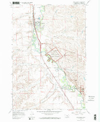
1967 Map of Crow Agency
USGS Topo · Published 1971About this map
The Little Bighorn River snakes through this 1967 survey, providing a sharp topographical view of the land surrounding the Custer Battlefield National Monument. The map documents the spatial relationship between the Custer National Cemetery and the more southern Reno-Benteen Battle Site, marking key military history landmarks like Weir Point and the Historical Monument.
Find a feature on this map
36 named features on this map. Tap any name to fly to it.
Don’t see what you’re looking for? This feature index may not catch every label — zoom into the map to look around manually.
Map Details
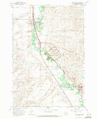
Editions of this 1967 Crow Agency Map
2 editions found
Other maps of this area

1894 · Rosebud
USGS Topo · 1:125,000

1894 · St. Xavier
USGS Topo · 1:125,000

1894 · Fort Custer
USGS Topo · 1:125,000

1901 · Rosebud
USGS Topo · 1:125,000

1901 · St. Xavier
USGS Topo · 1:125,000

1954 · Hardin
USGS Topo · 1:250,000

1957 · Hardin
USGS Topo · 1:250,000

1958 · Hardin
USGS Topo · 1:250,000

1960 · St Xavier NE
USGS Topo · 1:24,000

1960 · Hardin
USGS Topo · 1:24,000