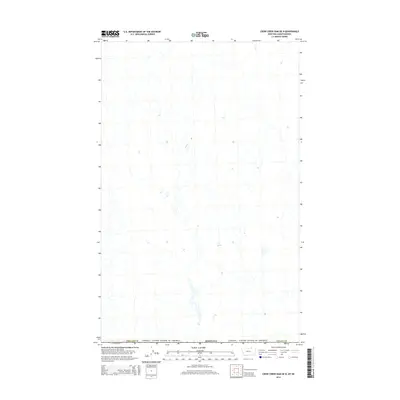
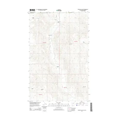
2014 Map of Crow Creek Dam OE N
USGS Topo · Published 2014About this map
The international border between Canada and the United States defines the northern edge of this northern Montana landscape. Spanning the boundary of Phillips Co and Valley Co, the terrain is marked by a complex network of ephemeral drainages and coulees typical of the high plains. While the map is sparse in named settlements, the intricate hydrography and public land survey system grid provide a detailed look at the rural geography of Montana in the early 21st century. Researchers interested in the management of borderlands and the layout of these vast northern counties will find the survey of the section lines and topography useful for understanding the area's physical distribution.
Find a feature on this map
4 named features on this map. Tap any name to fly to it.
Don’t see what you’re looking for? This feature index may not catch every label — zoom into the map to look around manually.
Map Details
Editions of this 2014 Crow Creek Dam OE N Map
This is the sole edition of this map. No revisions or reprints were ever made.
Other maps of this area

1954 · Glasgow
USGS Topo · 1:250,000

1957 · Glasgow
USGS Topo · 1:250,000

1958 · Glasgow
USGS Topo · 1:250,000

1984 · Thoeny Hills East
USGS Topo · 1:24,000

1984 · Black Calf Reservoir
USGS Topo · 1:24,000

1984 · Crow Creek Dam
USGS Topo · 1:24,000
2011 · Black Calf Reservoir
USGS Topo · 1:24,000
2011 · Thoeny Hills East
USGS Topo · 1:24,000
2011 · Crow Creek Dam
USGS Topo · 1:24,000
2014 · Thoeny Hills East
USGS Topo · 1:24,000