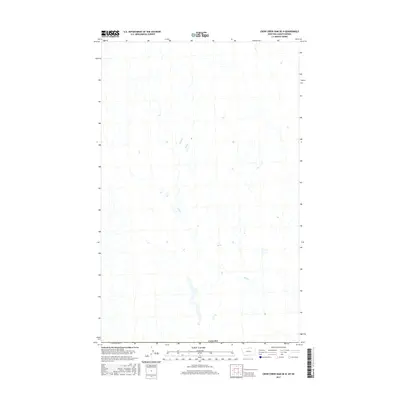
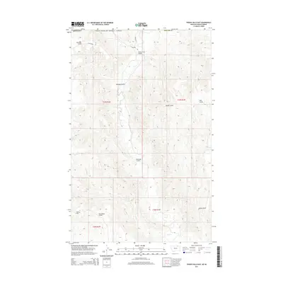
2017 Map of Crow Creek Dam OE N
USGS Topo · Published 2017About this map
Bluff Cr meanders across this northern landscape in Valley County, Montana, just south of the international boundary with Canada. This 2017 survey reveals a terrain defined by subtle drainage patterns and seasonal wetlands typical of the high plains. The area is dominated by the winding course of the creek, which carves a path through the open territory. With no major settlements or highways present on the sheet, the map serves as a detailed record of the natural topography and water distribution in this specific borderland region during the early twenty-first century.
Find a feature on this map
2 named features on this map. Tap any name to fly to it.
Don’t see what you’re looking for? This feature index may not catch every label — zoom into the map to look around manually.
Map Details
Editions of this 2017 Crow Creek Dam OE N Map
This is the sole edition of this map. No revisions or reprints were ever made.
Other maps of this area

1954 · Glasgow
USGS Topo · 1:250,000

1957 · Glasgow
USGS Topo · 1:250,000

1958 · Glasgow
USGS Topo · 1:250,000

1984 · Thoeny Hills East
USGS Topo · 1:24,000

1984 · Black Calf Reservoir
USGS Topo · 1:24,000

1984 · Crow Creek Dam
USGS Topo · 1:24,000
2011 · Black Calf Reservoir
USGS Topo · 1:24,000
2011 · Thoeny Hills East
USGS Topo · 1:24,000
2011 · Crow Creek Dam
USGS Topo · 1:24,000
2014 · Thoeny Hills East
USGS Topo · 1:24,000