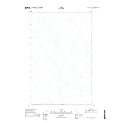
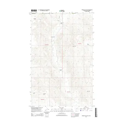
2020 Map of Crow Creek Dam OE N
USGS Topo · Published 2020About this map
This remote northern borderlands area in Valley County is defined by the international line separating Montana from Canada. The landscape is characterized by a network of north-south drainage patterns and seasonal watercourses, showing the intricate hydrography typical of the high plains. While the terrain is largely devoid of named settlements or infrastructure, the Canada boundary serves as the primary landmark for this northern Montana quadrangle. The lack of named features reflects the open, unpopulated nature of this prairie region as documented by the U.S. Geological Survey in the early 21st century.
Find a feature on this map
1 named feature on this map. Tap any name to fly to it.
Don’t see what you’re looking for? This feature index may not catch every label — zoom into the map to look around manually.
Map Details
Editions of this 2020 Crow Creek Dam OE N Map
This is the sole edition of this map. No revisions or reprints were ever made.
Other maps of this area

1954 · Glasgow
USGS Topo · 1:250,000

1957 · Glasgow
USGS Topo · 1:250,000

1958 · Glasgow
USGS Topo · 1:250,000

1984 · Thoeny Hills East
USGS Topo · 1:24,000

1984 · Black Calf Reservoir
USGS Topo · 1:24,000

1984 · Crow Creek Dam
USGS Topo · 1:24,000
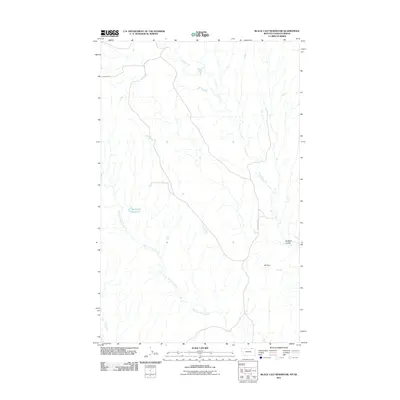
2011 · Black Calf Reservoir
USGS Topo · 1:24,000
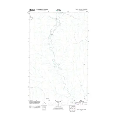
2011 · Thoeny Hills East
USGS Topo · 1:24,000
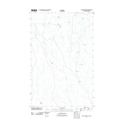
2011 · Crow Creek Dam
USGS Topo · 1:24,000
2014 · Thoeny Hills East
USGS Topo · 1:24,000