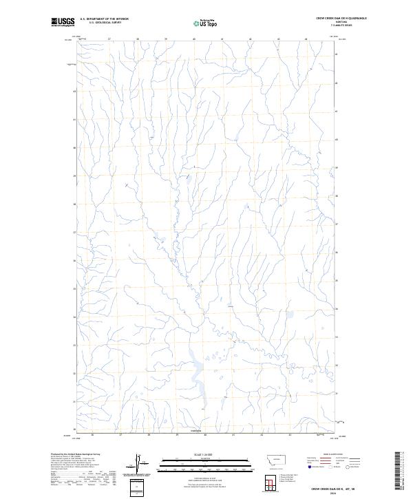
2024 Map of Crow Creek Dam OE N
USGS Topo · Published 2024About this map
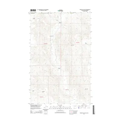
This part of Phillips County, Montana, lies at the very edge of the northern frontier where the high plains meet the international border at Canada. The landscape is defined by an intricate network of north-flowing seasonal drainages and coulees, reflecting the hydrology of a high-altitude prairie system. While the map is sparse in terms of modern infrastructure or named settlements, the terrain data reveals a subtle series of ponds and wetlands that have historically supported grazing and local wildlife in this expansive northern reaches of the state. The proximity to the border at Canada underscores the geographical isolation of this region, which remains largely untouched by dense development even into the current era.
Find a feature on this map
1 named feature on this map. Tap any name to fly to it.
Don’t see what you’re looking for? This feature index may not catch every label — zoom into the map to look around manually.
Map Details
Editions of this 2024 Crow Creek Dam OE N Map
This is the sole edition of this map. No revisions or reprints were ever made.
Other maps of this area

1954 · Glasgow
USGS Topo · 1:250,000

1957 · Glasgow
USGS Topo · 1:250,000

1958 · Glasgow
USGS Topo · 1:250,000

1984 · Thoeny Hills East
USGS Topo · 1:24,000

1984 · Black Calf Reservoir
USGS Topo · 1:24,000

1984 · Crow Creek Dam
USGS Topo · 1:24,000
2011 · Black Calf Reservoir
USGS Topo · 1:24,000
2011 · Thoeny Hills East
USGS Topo · 1:24,000
2011 · Crow Creek Dam
USGS Topo · 1:24,000
2014 · Thoeny Hills East
USGS Topo · 1:24,000