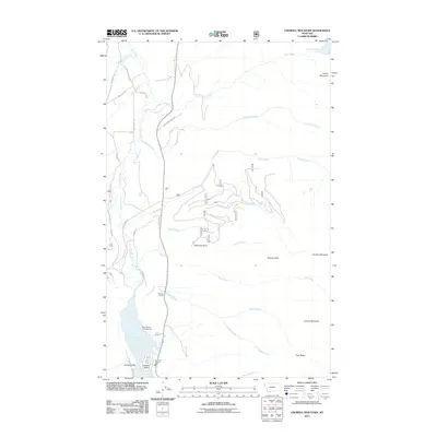
2011 Map of Crowell Mountain
USGS Topo · Published 2011About this map
Crowell Mountain dominates the eastern landscape of this Lincoln County survey, rising above a network of drainages that define the local topography. To the southwest, Bull Lake serves as a primary geographic anchor, home to the Bull Lake Vol Fire Dept and the Dorr Skeels Campground. The map reveals the area's industrial and residential history through features such as Asarco Mine Rd and the small settlement of Little Joe.
Find a feature on this map
34 named features on this map. Tap any name to fly to it.
Don’t see what you’re looking for? This feature index may not catch every label — zoom into the map to look around manually.
Map Details
Editions of this 2011 Crowell Mountain Map
This is the sole edition of this map. No revisions or reprints were ever made.
Other maps of this area

1920 · Libby
USGS Topo · 1:125,000

1930 · Libby
USGS Topo · 1:125,000

1932 · Libby
USGS Topo · 1:125,000

1957 · Kalispell
USGS Topo · 1:250,000

1960 · Kalispell
USGS Topo · 1:250,000

1961 · Kalispell
USGS Topo · 1:250,000

1963 · Scenery Mountain
USGS Topo · 1:24,000
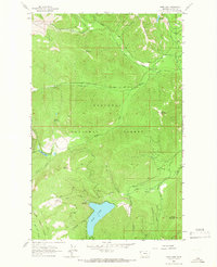
1963 · Spar Lake
USGS Topo · 1:24,000
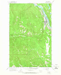
1963 · Troy
USGS Topo · 1:24,000

1963 · Treasure Mountain
USGS Topo · 1:24,000