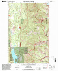
1997 Map of Crowell Mountain
USGS Topo · Published 2000About this map
Bull Lake dominates the southwestern corner of this survey, a significant water body flanked by the Dorr Skeels and Little Joe settlements. This area of western Montana, revised in the late 1990s, illustrates a landscape defined by forestry management and high-elevation terrain. The western edge of the Cabinet Mountains Wilderness creates a dramatic eastern backdrop, where summits like Gordon Mountain and Crowell Mountain rise sharply above the drainage basins of Lake Creek and Copper Creek. Industrial activity is evident near the lakeshore, where a Tailings Pond and gravel pits sit adjacent to the recreational and administrative landscape of the Kootenai National Forest. The transition from the low-lying Callows Island to the peaks of Dome Mountain shows the complex topography of the Lincoln and Sanders county border region.
Find a feature on this map
32 named features on this map. Tap any name to fly to it.
Don’t see what you’re looking for? This feature index may not catch every label — zoom into the map to look around manually.
Map Details
Editions of this 1997 Crowell Mountain Map
This is the sole edition of this map. No revisions or reprints were ever made.
Other maps of this area

1920 · Libby
USGS Topo · 1:125,000

1930 · Libby
USGS Topo · 1:125,000

1932 · Libby
USGS Topo · 1:125,000

1957 · Kalispell
USGS Topo · 1:250,000

1960 · Kalispell
USGS Topo · 1:250,000

1961 · Kalispell
USGS Topo · 1:250,000

1963 · Scenery Mountain
USGS Topo · 1:24,000
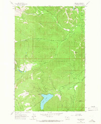
1963 · Spar Lake
USGS Topo · 1:24,000
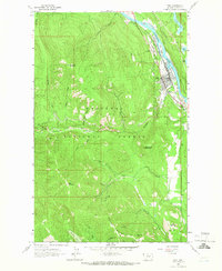
1963 · Troy
USGS Topo · 1:24,000

1963 · Treasure Mountain
USGS Topo · 1:24,000