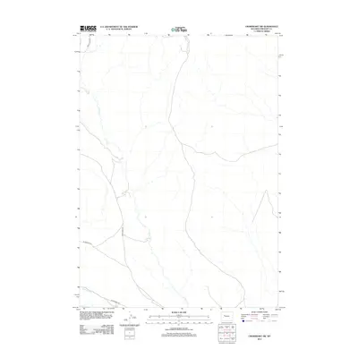
2012 Map of Crowheart NW
USGS Topo · Published 2012About this map
Crow Cr winds through this Fremont County landscape, defining the local hydrology alongside irrigation infrastructure like Lannigans Ditch. The map reflects a modern rural framework where remote access is provided by a network of descriptive routes including Circle Ridge Rd and Crow Creek Rd. The presence of Wilderness Dr and Wilderness Rd suggests a transition toward more primitive or protected lands at the edges of the quadrangle. Produced by the U.S. Geological Survey in 2012, this sheet illustrates the essential water management and transportation patterns that sustain this Wyoming high-country environment.
Find a feature on this map
6 named features on this map. Tap any name to fly to it.
Don’t see what you’re looking for? This feature index may not catch every label — zoom into the map to look around manually.
Map Details
Editions of this 2012 Crowheart NW Map
This is the sole edition of this map. No revisions or reprints were ever made.
Other maps of this area

1904 · Kirwin
USGS Topo · 1:125,000

1906 · Kirwin
USGS Topo · 1:125,000

1952 · Wilderness
USGS Topo · 1:24,000

1952 · Crowheart Butte
USGS Topo · 1:24,000

1952 · Crowheart NW
USGS Topo · 1:24,000

1952 · Crowheart NE
USGS Topo · 1:24,000

1952 · Crowheart
USGS Topo · 1:24,000

1952 · Burris
USGS Topo · 1:24,000

1955 · Thermopolis
USGS Topo · 1:250,000

1957 · Crowheart NE
USGS Topo · 1:24,000