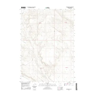
2015 Map of Crowheart NW
USGS Topo · Published 2015About this map
Crow Cr defines the drainage of this high-elevation Wyoming landscape, where the seasonal flow of Ega Draw and the human-engineered Lannigans Ditch reflect the ongoing effort to manage water in an arid environment. The map details a complex network of unpaved access points such as Circle Ridge Rd and Crow Creek Rd, which provide passage through the township boundaries of T6N R4W and T5N R4W. This 2015 survey illustrates a contemporary view of Fremont County, where the infrastructure of Wilderness Rd and Wilderness Dr skirts the base of the dramatic relief shown in the National Elevation Dataset. The presence of named irrigation features like Lannigans Ditch provides insight into the historical and modern agricultural land use of the region.
Find a feature on this map
11 named features on this map. Tap any name to fly to it.
Don’t see what you’re looking for? This feature index may not catch every label — zoom into the map to look around manually.
Map Details
Editions of this 2015 Crowheart NW Map
This is the sole edition of this map. No revisions or reprints were ever made.
Other maps of this area

1904 · Kirwin
USGS Topo · 1:125,000

1906 · Kirwin
USGS Topo · 1:125,000

1952 · Wilderness
USGS Topo · 1:24,000

1952 · Crowheart Butte
USGS Topo · 1:24,000

1952 · Crowheart NW
USGS Topo · 1:24,000

1952 · Crowheart NE
USGS Topo · 1:24,000

1952 · Crowheart
USGS Topo · 1:24,000

1952 · Burris
USGS Topo · 1:24,000

1955 · Thermopolis
USGS Topo · 1:250,000

1957 · Crowheart NE
USGS Topo · 1:24,000