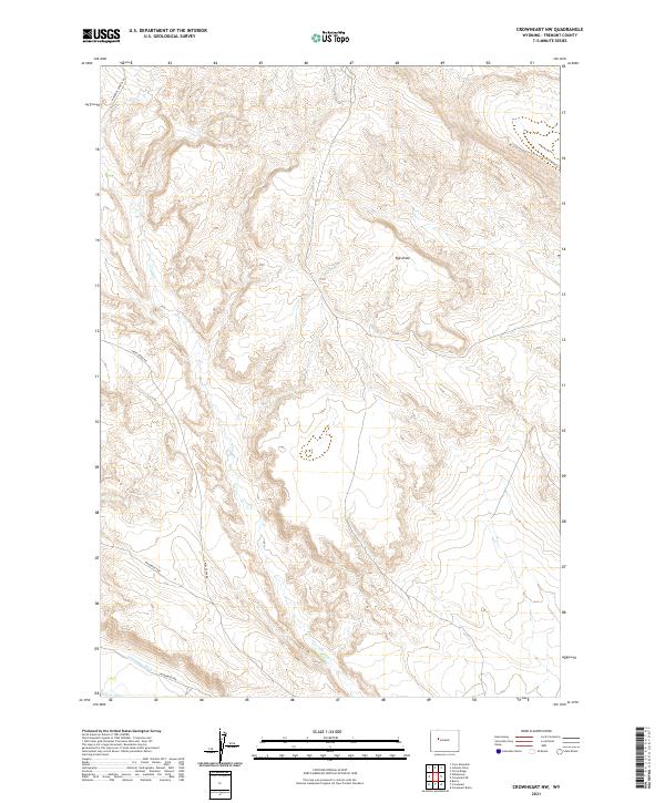
2021 Map of Crowheart NW
USGS Topo · Published 2021About this map
Lannigans Ditch cuts through the southern reaches of this Fremont County landscape, representing a localized system of water management in a high-elevation environment. The drainage pattern is primarily defined by the winding course of Crow Cr, which snakes through the central terrain, and the intermittent path of Ega Draw to the north. These natural and man-made waterways emphasize the importance of water access for ranching and land use in this part of Wyoming. Transportation is limited to a few specific corridors, notably Maverick Springs Rd in the northwest corner and the central Crow Creek Rd. The presence of residential or service routes like Wilderness Dr and Wilderness Rd suggests pocketed areas of development or access points for the surrounding terrain within the township and range boundaries of t6n r4w and t5n r4w.
Find a feature on this map
11 named features on this map. Tap any name to fly to it.
Don’t see what you’re looking for? This feature index may not catch every label — zoom into the map to look around manually.
Map Details
Editions of this 2021 Crowheart NW Map
This is the sole edition of this map. No revisions or reprints were ever made.
Other maps of this area

1904 · Kirwin
USGS Topo · 1:125,000

1906 · Kirwin
USGS Topo · 1:125,000

1952 · Wilderness
USGS Topo · 1:24,000

1952 · Crowheart Butte
USGS Topo · 1:24,000

1952 · Crowheart NW
USGS Topo · 1:24,000

1952 · Crowheart NE
USGS Topo · 1:24,000

1952 · Crowheart
USGS Topo · 1:24,000

1952 · Burris
USGS Topo · 1:24,000

1955 · Thermopolis
USGS Topo · 1:250,000

1957 · Crowheart NE
USGS Topo · 1:24,000