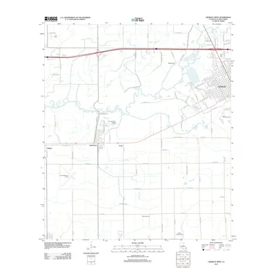
2012 Map of Crowley West
USGS Topo · Published 2012About this map
Bayou Plaquemine Brule winds through the heart of this Acadia Parish landscape, defining the topography between the western edge of Crowley and the smaller settlements of Estherwood and Midland. The map illustrates a region deeply connected to its water and agricultural infrastructure, where the Lazy Point Canal and Marsh Canal intersect with natural drainages like Coulee Triet.
Find a feature on this map
92 named features on this map. Tap any name to fly to it.
Don’t see what you’re looking for? This feature index may not catch every label — zoom into the map to look around manually.
Map Details
Editions of this 2012 Crowley West Map
This is the sole edition of this map. No revisions or reprints were ever made.
Other maps of this area

1935 · Branch
USGS Topo · 1:31,680

1946 · Morse
USGS Topo · 1:31,680

1946 · Mermentau
USGS Topo · 1:31,680

1946 · Kaplan
USGS Topo · 1:31,680

1946 · Rayne
USGS Topo · 1:31,680

1947 · Evangeline
USGS Topo · 1:31,680

1947 · Branch
USGS Topo · 1:31,680

1947 · Iota
USGS Topo · 1:31,680

1949 · Gueydan
USGS Topo · 1:31,680

1949 · Estherwood
USGS Topo · 1:31,680