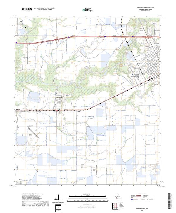
2024 Map of Crowley West
USGS Topo · Published 2024About this map
Estherwood and the western outskirts of Crowley anchor this Acadia Parish landscape, where the flat coastal prairie is defined by an intricate network of irrigation and drainage. The Lazy Point Canal and the winding Coulee Triet cut through the agricultural fields, illustrating the region's managed water systems essential for rice farming. To the north, the Leger Family Cem provides a specific point of interest for genealogists tracing local lineage in the area around Egan.
Find a feature on this map
125 named features on this map. Tap any name to fly to it.
Don’t see what you’re looking for? This feature index may not catch every label — zoom into the map to look around manually.
Map Details
Editions of this 2024 Crowley West Map
This is the sole edition of this map. No revisions or reprints were ever made.
Other maps of this area

1935 · Branch
USGS Topo · 1:31,680

1946 · Morse
USGS Topo · 1:31,680

1946 · Mermentau
USGS Topo · 1:31,680

1946 · Kaplan
USGS Topo · 1:31,680

1946 · Rayne
USGS Topo · 1:31,680

1947 · Evangeline
USGS Topo · 1:31,680

1947 · Branch
USGS Topo · 1:31,680

1947 · Iota
USGS Topo · 1:31,680

1949 · Gueydan
USGS Topo · 1:31,680

1949 · Estherwood
USGS Topo · 1:31,680