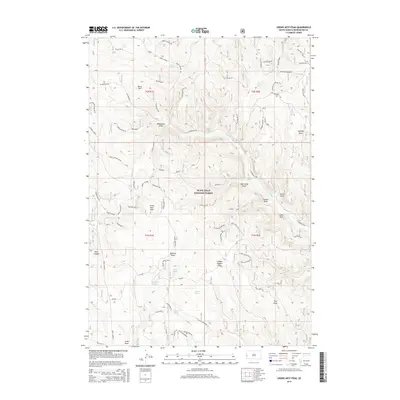
2015 Map of Crows Nest Peak
USGS Topo · Published 2015About this map
Black Hills National Forest land defines this portion of Pennington County, where the high-altitude landscape is deeply carved by numerous ephemeral draws and canyons. The area is characterized by its vital water sources, including Freel Spring, Oatman Spring, and Miller Spring, which historically supported livestock and early travelers in this upland terrain. The topography is dominated by prominent features such as Crows Nest Peak and the low-lying Mud Lake.
Find a feature on this map
56 named features on this map. Tap any name to fly to it.
Don’t see what you’re looking for? This feature index may not catch every label — zoom into the map to look around manually.
Map Details
Editions of this 2015 Crows Nest Peak Map
This is the sole edition of this map. No revisions or reprints were ever made.
Other maps of this area

1894 · Deadwood
USGS Topo · 1:125,000

1896 · Harney Peak
USGS Topo · 1:125,000

1898 · Sundance
USGS Topo · 1:125,000

1899 · Newcastle
USGS Topo · 1:125,000

1901 · Harney Peak
USGS Topo · 1:125,000

1901 · Deadwood
USGS Topo · 1:125,000

1901 · Newcastle
USGS Topo · 1:125,000

1902 · Sundance
USGS Topo · 1:125,000

1916 · Deadwood
USGS Topo · 1:125,000

1953 · Rapid City
USGS Topo · 1:250,000