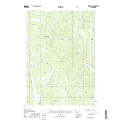
2017 Map of Crows Nest Peak
USGS Topo · Published 2017About this map
Black Hills National Forest land defines this portion of Pennington County, where the high-altitude landscape is marked by a complex network of forest service roads and drainage draws. The prominent Crows Nest Peak overlooks a terrain etched by water sources such as Castle Cr and Mud Lake, while the local hydrology is further highlighted by numerous named water points including Oatman Spring, Procunier Spring, and Rhoads Spring. The map reveals a legacy of resource-based place naming, from the industrial suggestion of Manganese Draw to family-named features like Soholt Draw and Bjornland Draw. This modern-era survey shows the contemporary management of the forest, tracing routes like Boles Canyon Rd and W Deerfield Rd through a landscape that includes the small settlement at Blind Park and the low-lying Jenks Draw.
Find a feature on this map
78 named features on this map. Tap any name to fly to it.
Don’t see what you’re looking for? This feature index may not catch every label — zoom into the map to look around manually.
Map Details
Editions of this 2017 Crows Nest Peak Map
This is the sole edition of this map. No revisions or reprints were ever made.
Other maps of this area

1894 · Deadwood
USGS Topo · 1:125,000

1896 · Harney Peak
USGS Topo · 1:125,000

1898 · Sundance
USGS Topo · 1:125,000

1899 · Newcastle
USGS Topo · 1:125,000

1901 · Harney Peak
USGS Topo · 1:125,000

1901 · Deadwood
USGS Topo · 1:125,000

1901 · Newcastle
USGS Topo · 1:125,000

1902 · Sundance
USGS Topo · 1:125,000

1916 · Deadwood
USGS Topo · 1:125,000

1953 · Rapid City
USGS Topo · 1:250,000