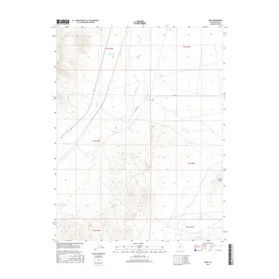
2017 Map of Cruz
USGS Topo · Published 2017About this map
The Beaver River meanders through this Millard County landscape, defining a north-south corridor of hydrology in a predominantly arid basin. This 2017 topographic study highlights the critical water sources that have sustained life and travel in the region, including the Bloom Trail Reservoir and the geographically significant Coyote Spring and Black Spring. These water points serve as vital landmarks for those navigating the wide-open terrain between the high peaks and the valley floor.
Find a feature on this map
13 named features on this map. Tap any name to fly to it.
Don’t see what you’re looking for? This feature index may not catch every label — zoom into the map to look around manually.
Map Details
Editions of this 2017 Cruz Map
This is the sole edition of this map. No revisions or reprints were ever made.
Other maps of this area

1885 · Beaver
USGS Topo · 1:250,000

1953 · Richfield
USGS Topo · 1:250,000

1958 · Richfield
USGS Topo · 1:250,000

1962 · Tabernacle Hill
USGS Topo · 1:62,500

1962 · Cove Fort
USGS Topo · 1:62,500

1973 · Cruz
USGS Topo · 1:24,000

1973 · Antelope Spring
USGS Topo · 1:24,000
1973 · Borden
USGS Topo · 1:24,000

1973 · Black Rock
USGS Topo · 1:24,000
1973 · Candland Spring
USGS Topo · 1:24,000